GNSS Monitoring with TEDAMOS
TEDAMOS GNSS enables the continuous monitoring of movements and settlements in structures, infrastructure and terrain – with millimeter accuracy, automated operation and reliable performance in all weather conditions.
Our GNSS sensors use satellite-based navigation to determine positions with high precision and reliably detect even the smallest three-dimensional movements. Measurement data is automatically processed and visualized in the TEDAMOS web portal.
The system is based on global navigation satellite systems (GNSS) such as GPS, Galileo and GLONASS. By combining multiple satellite constellations with differential GNSS processing, millimeter-level accuracy can be achieved.
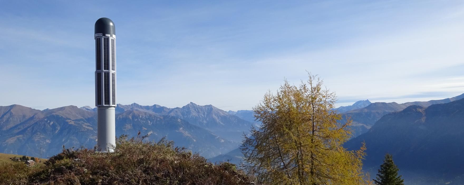
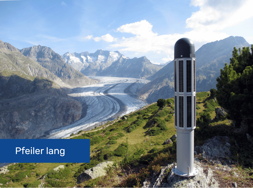
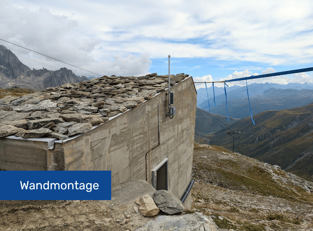
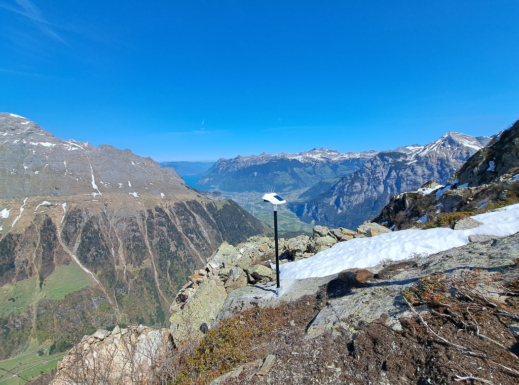
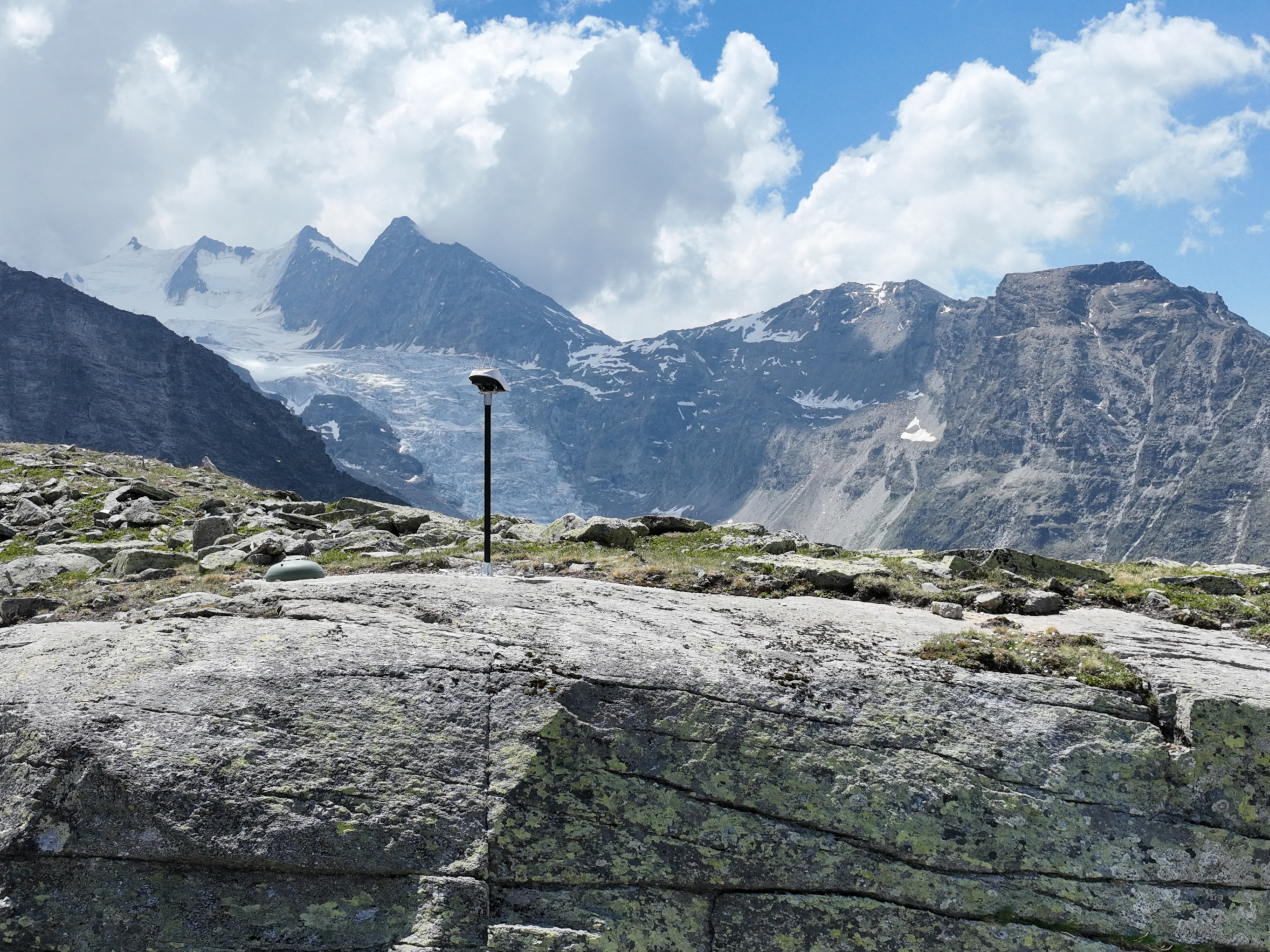
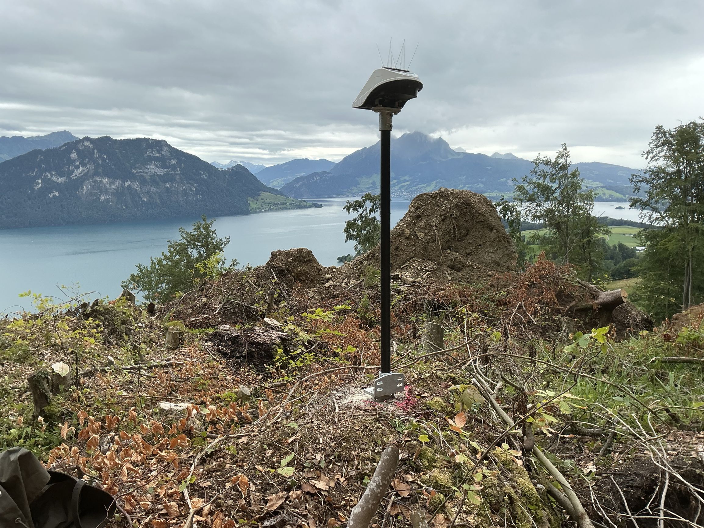
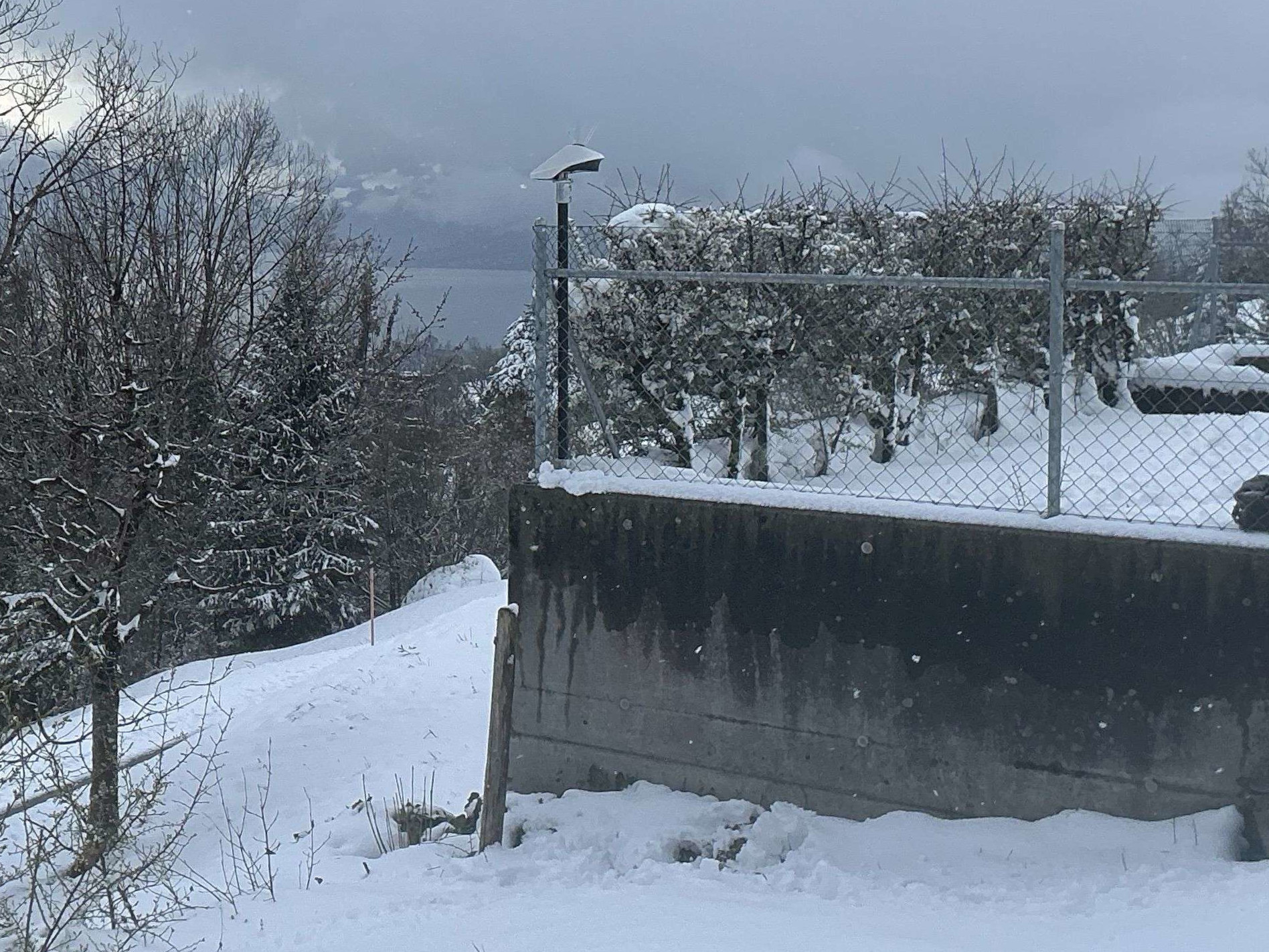
Our in-house developed GNSS stations are designed for continuous operation, even in demanding environments. They are ideally suited for monitoring geological structures, landslide and glacier areas, as well as structures such as bridges, dams, ropeways and high-rise buildings.
The continuously collected measurement data forms the basis for automatic alerts based on predefined displacement thresholds or movement velocities per hour, day or week.
Benefits at a glance
- Millimeter-accurate 3D positioning for reliable movement and settlement monitoring
- Automated alarms on deformations or velocities
- Long-term stability with consistent accuracy over many years
- Maintenance-free operation with no moving parts
- Reliable year-round operation, regardless of weather, snow or vegetation
- Energy-autonomous operation thanks to integrated solar technology
- No line of sight required between monitoring points
The right GNSS solution for every project
TEDAMOS GNSS is available in two versions, tailored to different requirements for accuracy, measurement frequency and project complexity.
TEDAMOS GNSS Pro is designed for demanding monitoring projects where maximum accuracy is essential. Permanent measurements and freely configurable result intervals make it the ideal solution for the continuous monitoring of critical infrastructure and natural hazards.
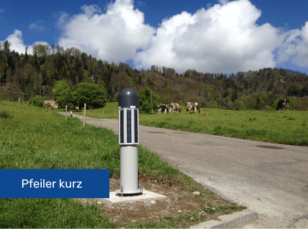
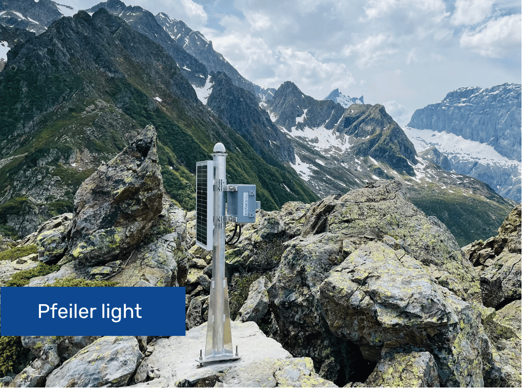
TEDAMOS GNSS Basic – powered by Basetime provides a cost-effective GNSS monitoring solution for projects where sub-centimeter positioning accuracy is sufficient. The solution is based on the globally proven Locator One sensor from Basetime.
For drone surveys in landslide-prone areas, the Basic sensor can be equipped with a photogrammetric ground control point (GCP) target, enabling highly accurate control point coordinates within the monitoring area (see images below).
GNSS Basic offers easy installation, autonomous and cost-efficient operation, and seamless integration into the versatile TEDAMOS web platform.
Reference projects GNSS Monitoring with TEDAMOS
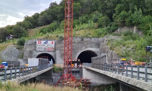
Long-term monitoring Riedberg Tunnel
Automatic and manual tunnel and terrain monitoring measurements

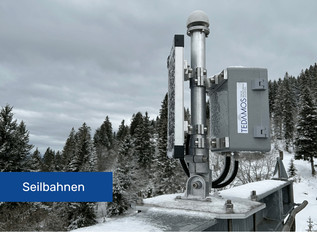
Ropeways Monitoring Zermatt
Permanent ropeways pillar monitoring

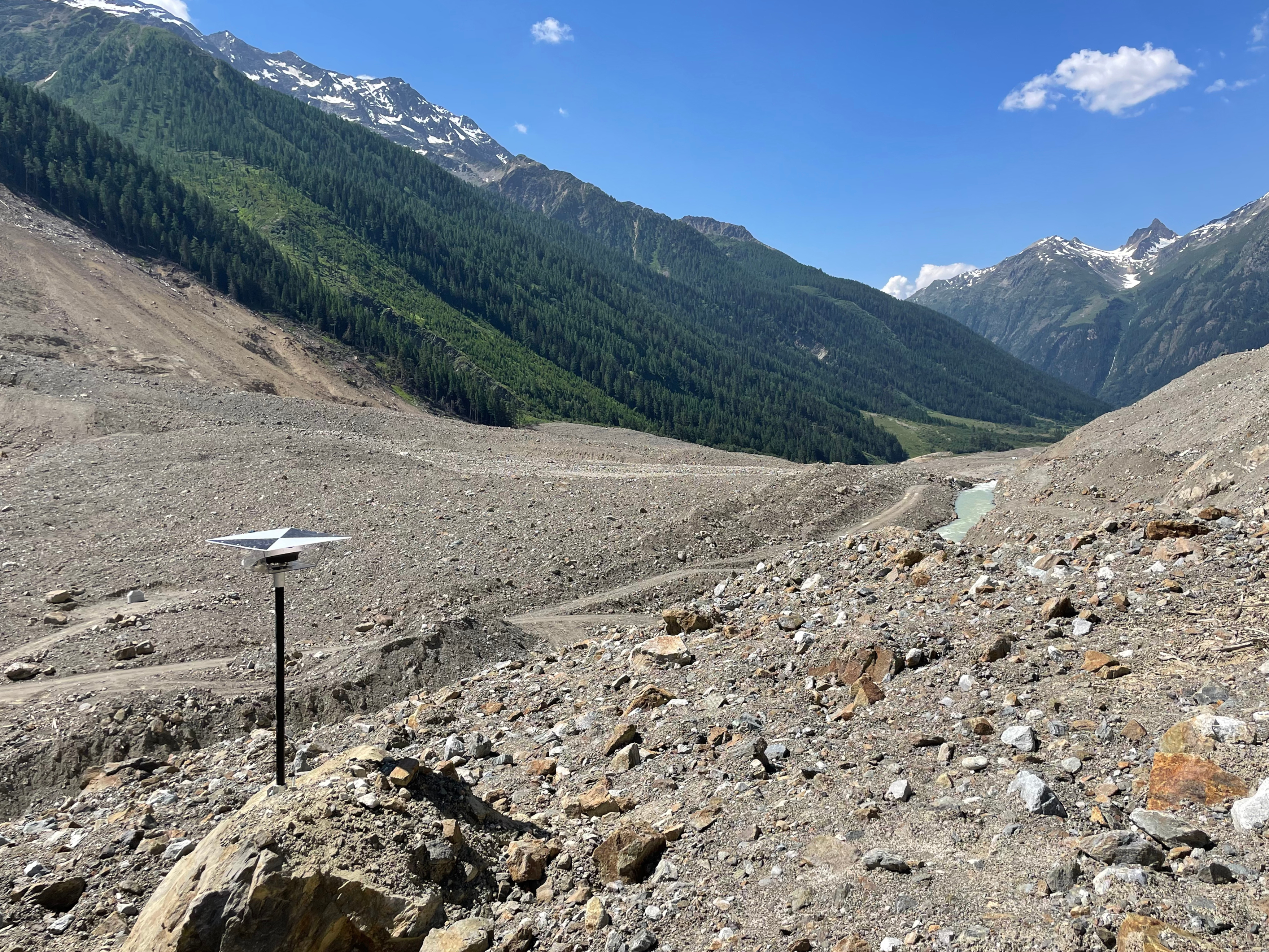
Landslide Area Brienz/Brinzauls
Monitoring of an active landslide area with automatic and manual measurements