Drone Surveying: Accurate Data from the Air
Drone surveying with TEDAMOS DroneCam enables the efficient capture of construction sites and infrastructure assets from the air. The resulting imagery is processed into accurate 3D models and georeferenced orthophotos.
All data is automatically transmitted, processed and made available through the TEDAMOS Web Portal. This provides a reliable basis for planning, quality control and project documentation.
Autonomous and Automated Drone Surveying
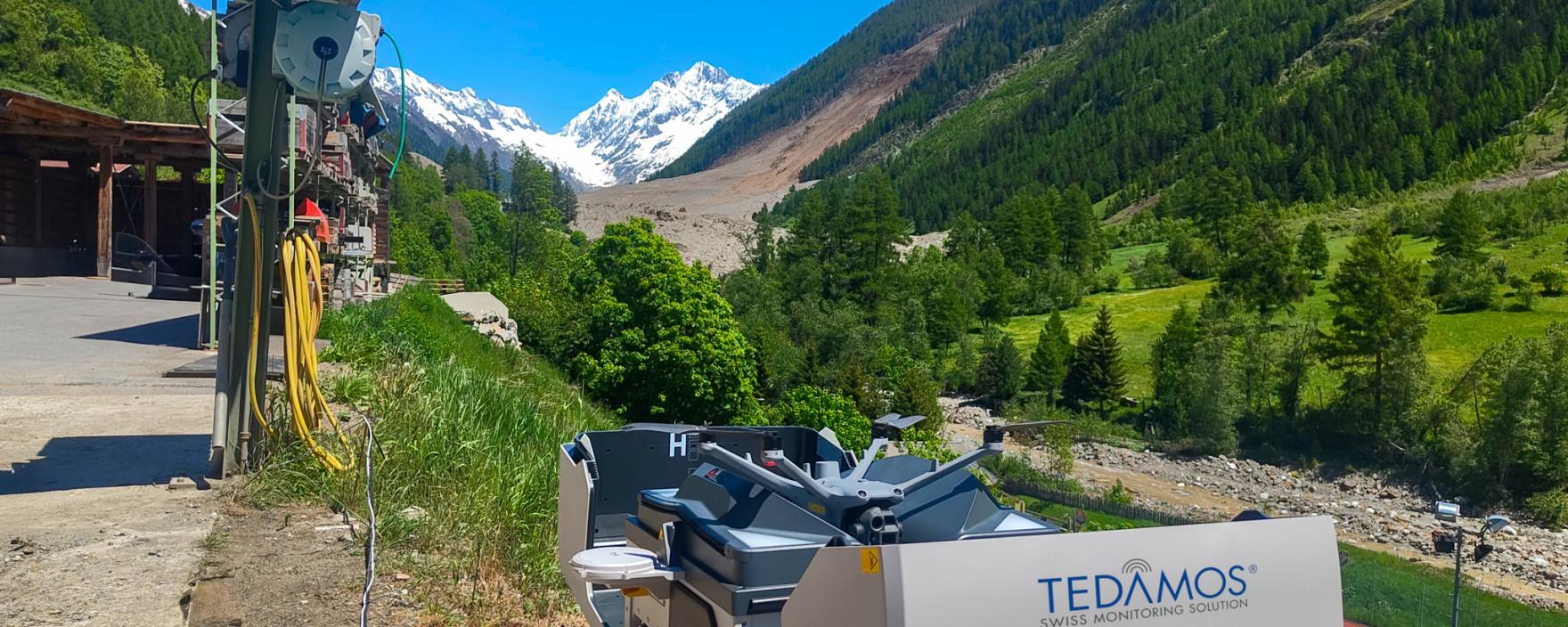
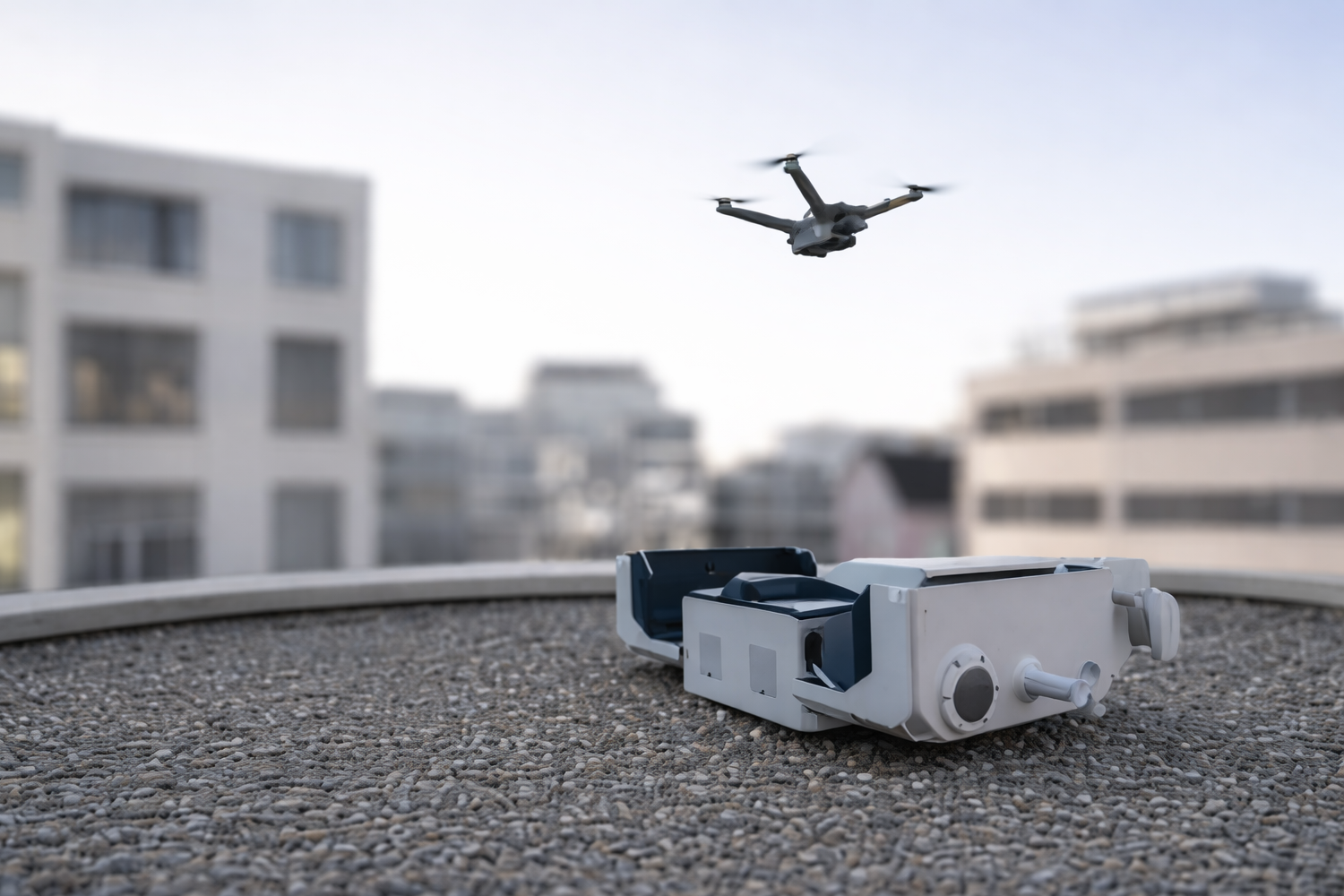
Fully automated drone systems independently handle the entire flight process – from take-off and mission execution to landing. Regularly updated aerial imagery is captured without any on-site personnel and made available for digital project documentation.
|
Applications
|
Use Cases
|
Watch the DJI Dock Drone in Action
Manual Drone Surveying
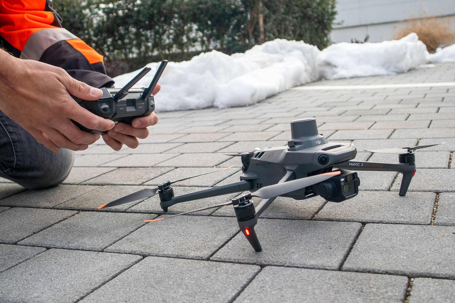
For flexible, project-specific applications, drone flights are carried out on demand and tailored to project requirements – particularly during construction phases where a higher level of detail and situational flexibility is required. Alternatively, imagery can also be captured using the client's own drone systems.
|
Applications
|
Use Cases
|
Large-Scale and Infrastructure Surveying with Wingtra Drones
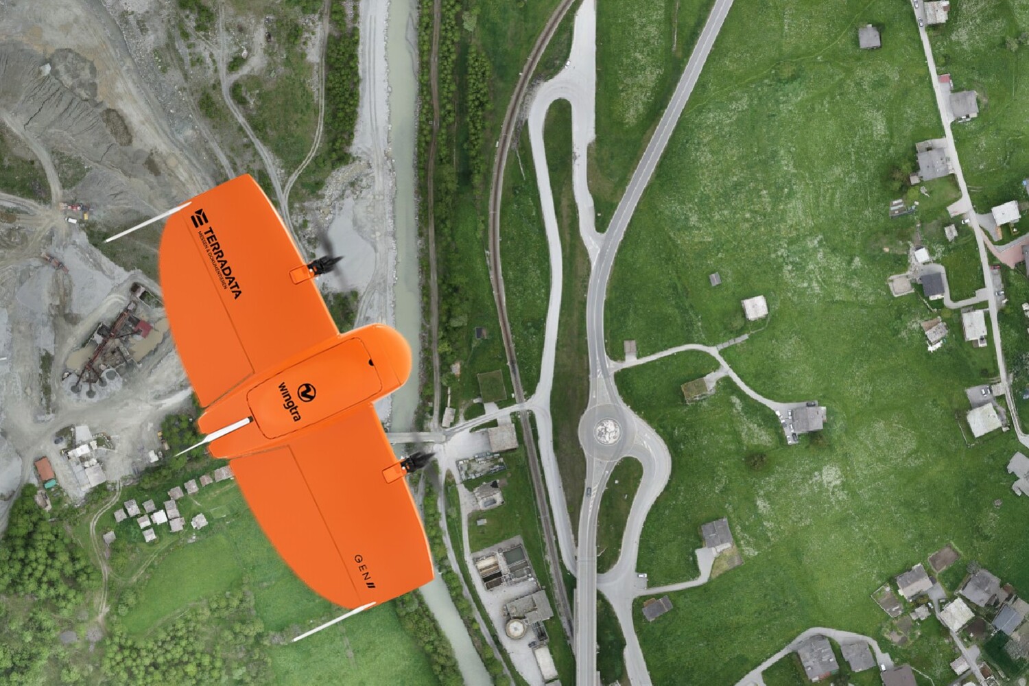
The Wingtra drone provides highly efficient coverage of large areas. Thanks to its long flight time, high cruising speed and integrated GNSS technology, extensive sites and linear infrastructure can be surveyed quickly and accurately.
|
Applications
|
Use Cases
|
Visualisation Options in TEDAMOS Web

Orthophotos
Georeferenced, distortion-free aerial imagery provides a precise basis for surveying, planning and analysing terrain and infrastructure assets.

Volume Calculations
High-resolution imagery enables precise volume calculations of earthworks, stockpiles and excavation materials. By comparing current surveys with previous datasets or defined reference surfaces, volume changes can be tracked accurately over time – ideal for construction projects, demolition works, stockpile management and landfill operations.
3D Models
Detailed 3D terrain models and infrastructure visualisations provide an intuitive and efficient basis for analysis, planning and project communication.

As-Planned vs. As-Built Comparisons
CAD plans can be overlaid with drone survey data, making it possible to identify deviations between design and construction at an early stage – for example, when verifying the position of electrical conduits or installation points before concrete placement.
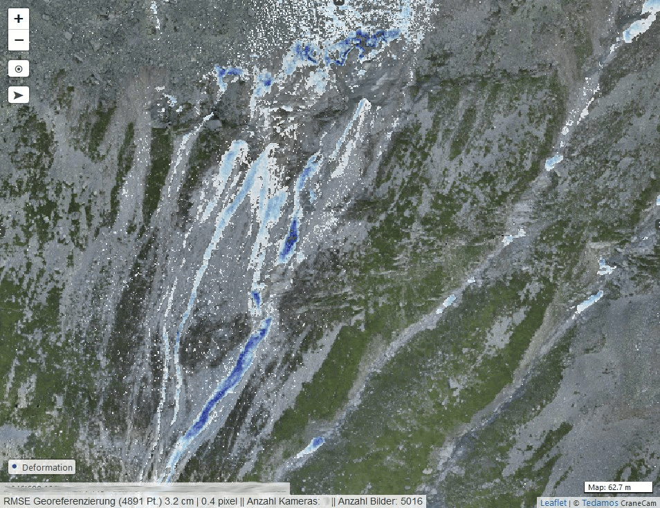
Deformation Analysis
Drone survey data enables the detection and quantification of terrain and surface changes, such as those caused by excavation works, embankment construction or heavy rainfall. TEDAMOS automatically calculates and visualises both deformations and volume changes.

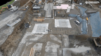
Construction Progress Documentation
Regular drone surveys provide consistent aerial imagery, creating a complete visual record of construction progress and project development over time.
How Our Clients Benefit from Drone Surveying

“The automatically processed and clearly presented drone survey data greatly supported us in verifying the elevation levels of the railway track foundation. This allowed us to approve follow-up works promptly on a section-by-section basis – a decisive factor during the tightly scheduled five-month line closure.”Pascal Breitenmoser, Sen. Project Lead Civil Engineering Structures SBB