Long-term monitoring Riedberg Tunnel
Automatic and manual tunnel and terrain monitoring measurements

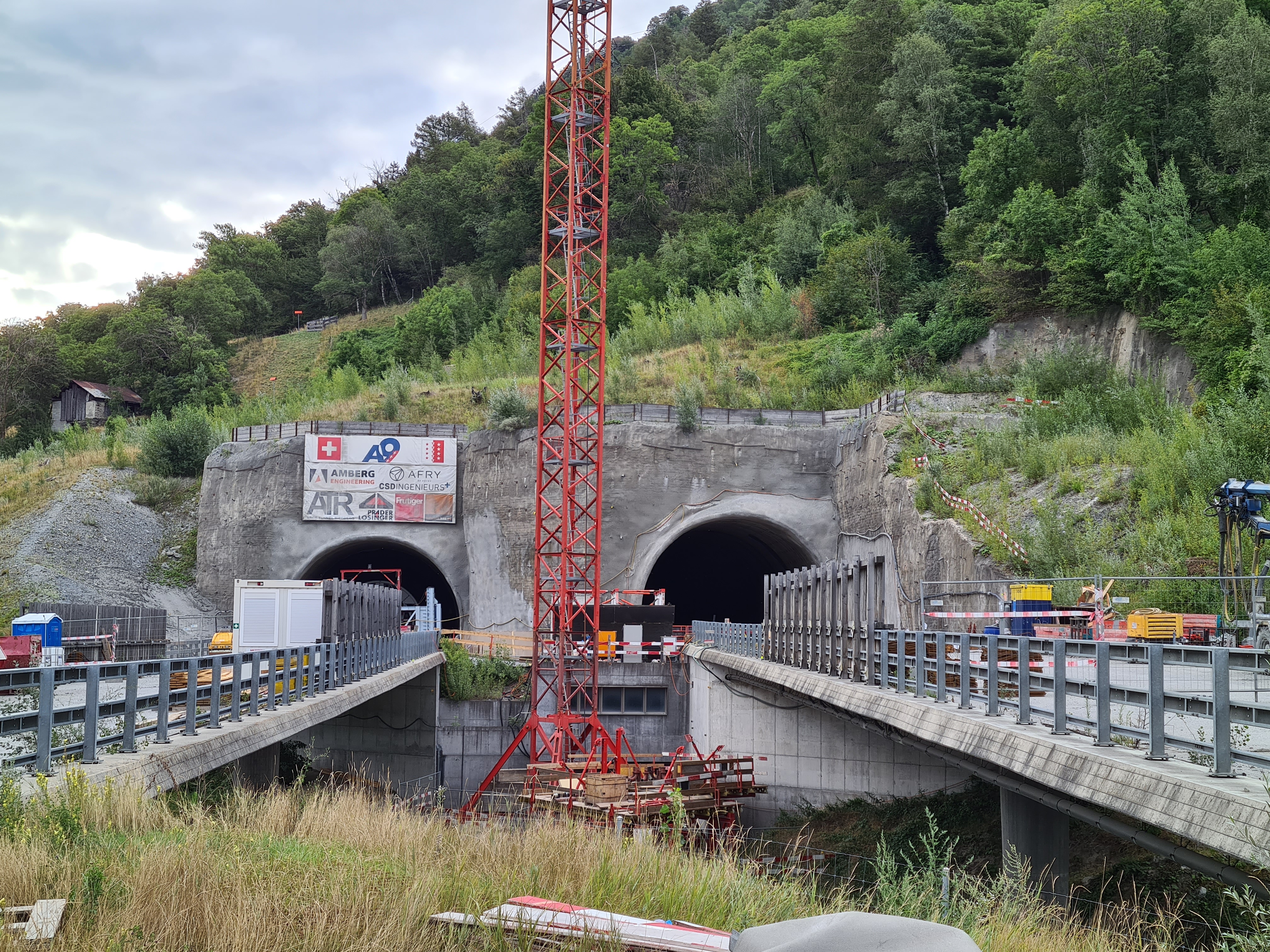
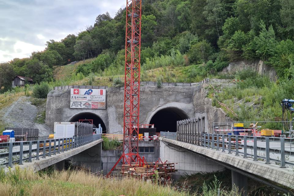
The Riedberg Tunnel with its two 500 m long tubes at the foot of the northern slope of the Rhone Valley in Valais near Gampel is part of the missing motorway link in Upper Valais between Sierre and Visp.
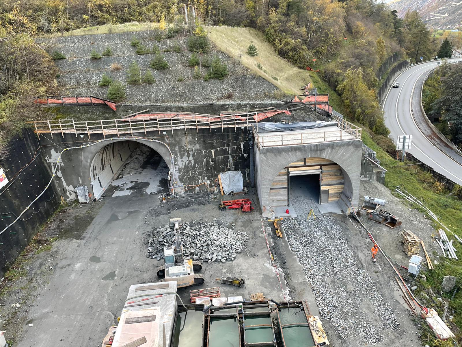
The first planning work for this tunnel dates back to the 1980s. In 1988/89, a 100 metre long exploratory tunnel was excavated and no problems were discovered. Once the planning had been finalised, excavation of the tunnel began in September 2004 with the ground-breaking ceremony. Excavation work had to be stopped as early as 2005 due to major deformations.
It was not until 2014 that preparatory and stabilisation measures for the resumption of tunnelling began. The resumption then took place in 2015 with a daily output of 25 cm as a result of the extensive stabilisation measures. The breakthrough of the north tunnel took place in October 2020 and that of the south tunnel in March 2021. Completion of the shell construction work is expected by the end of 2024 and commissioning is scheduled for 2026.
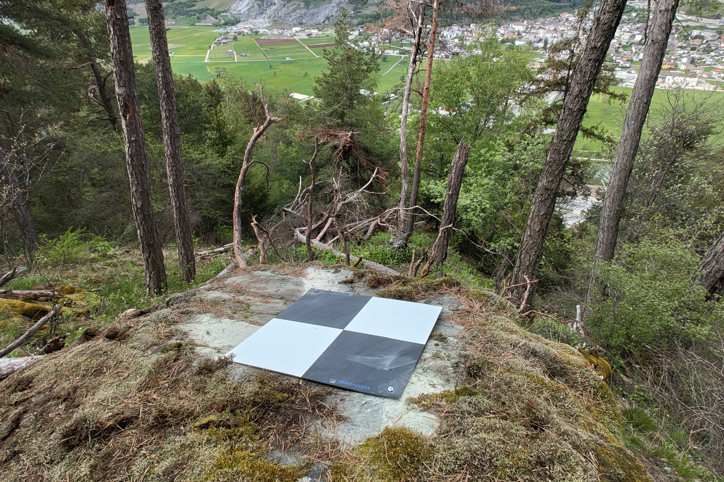
The slope above and below the tunnel is in a creeping to sliding condition. For this reason, a surveying mandate was put out to public tender in autumn 2021 to monitor the slope, the tunnel and the surrounding structures during the completion of the structure and during operation. The first measurements took place in March 2022 and the mandate is scheduled to run for 10 years.
Services
- Manual deformation measurements on buildings, infrastructures and in the terrain
- Manual inclinometer and INKREX measurements in 16 boreholes down to a depth of 100 m
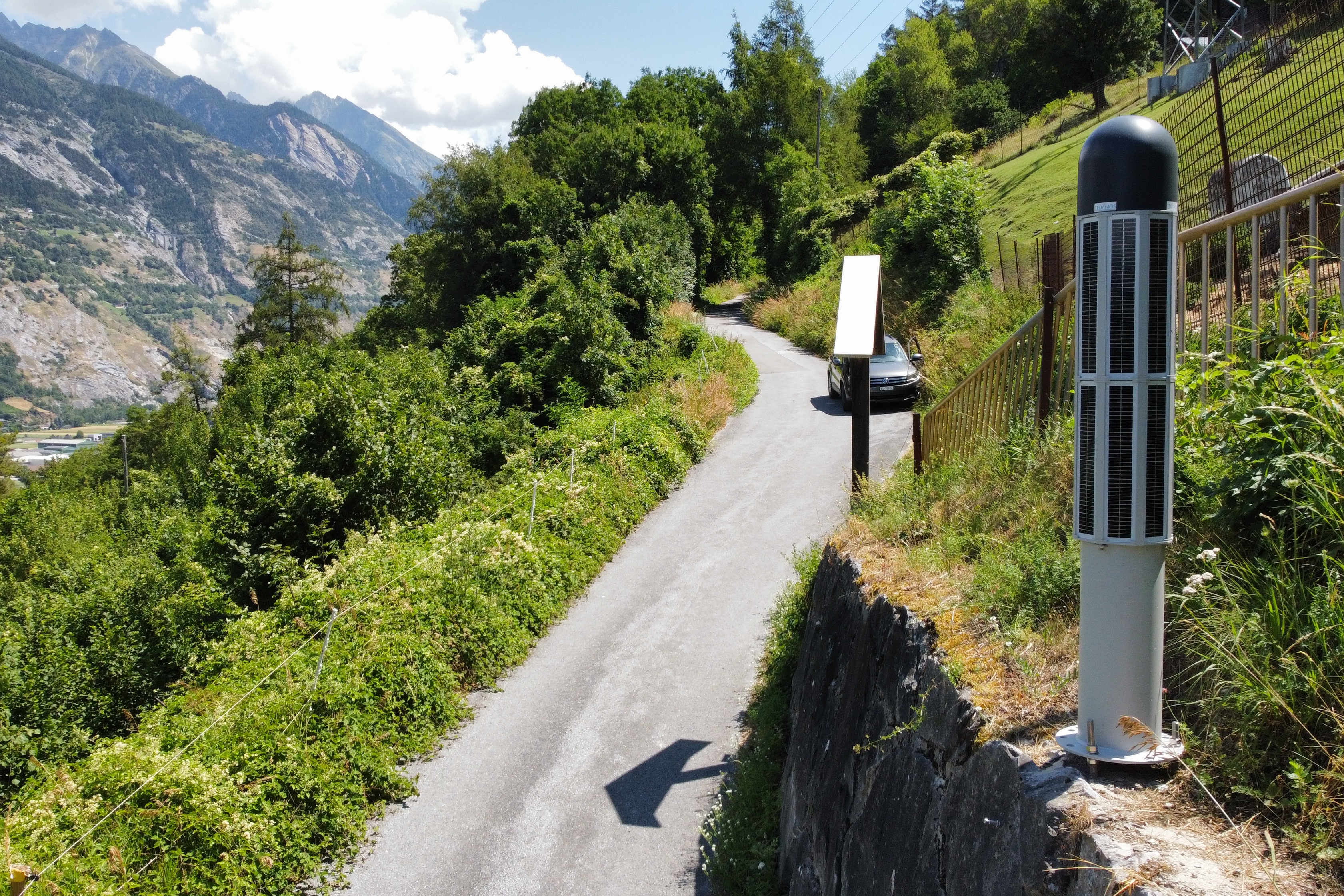
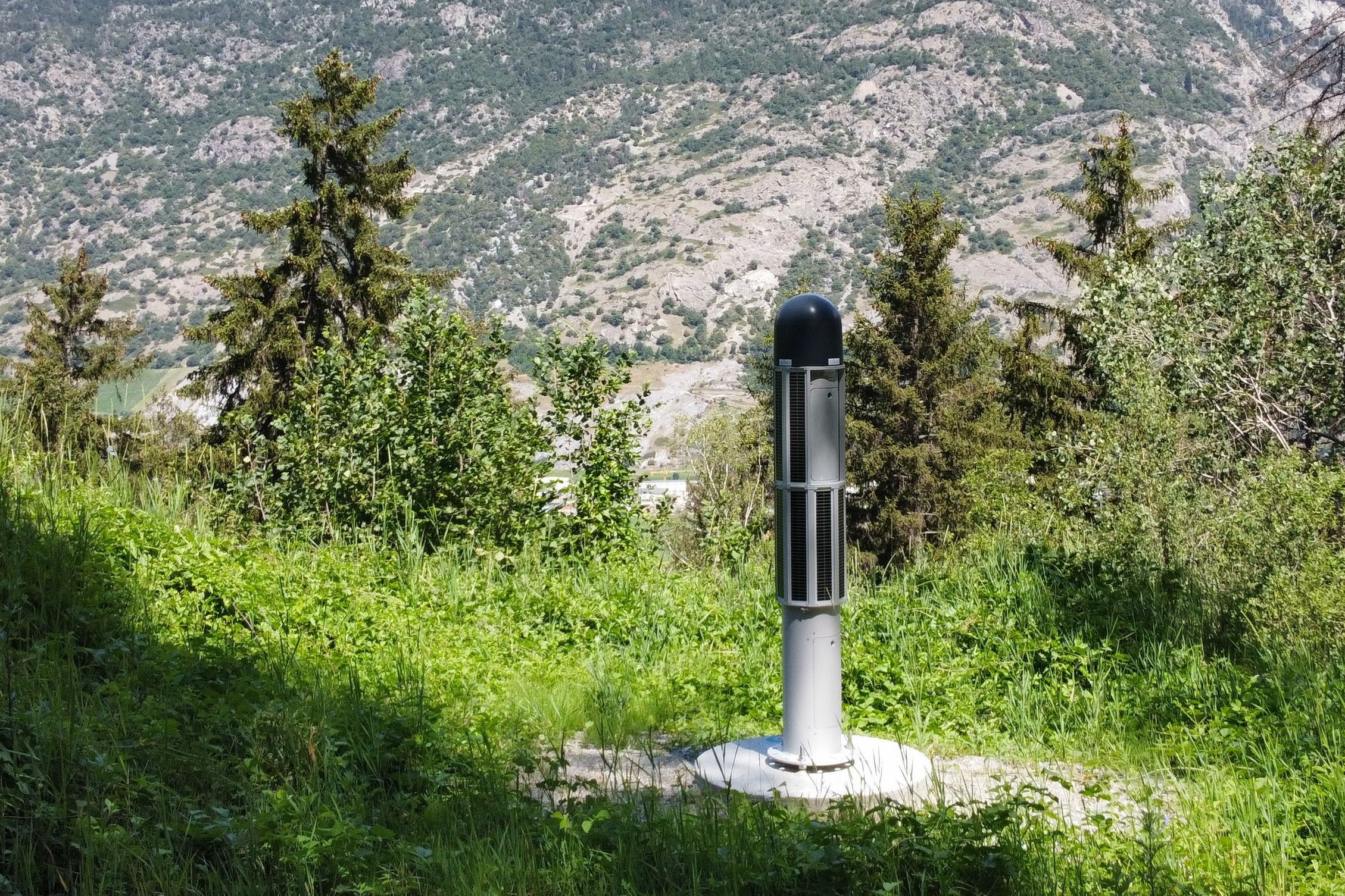
- Automated slope monitoring with 2 total stations, 3 GNSS and 7 pore water pressure sensors
- Automated monitoring of the west portal using a total station
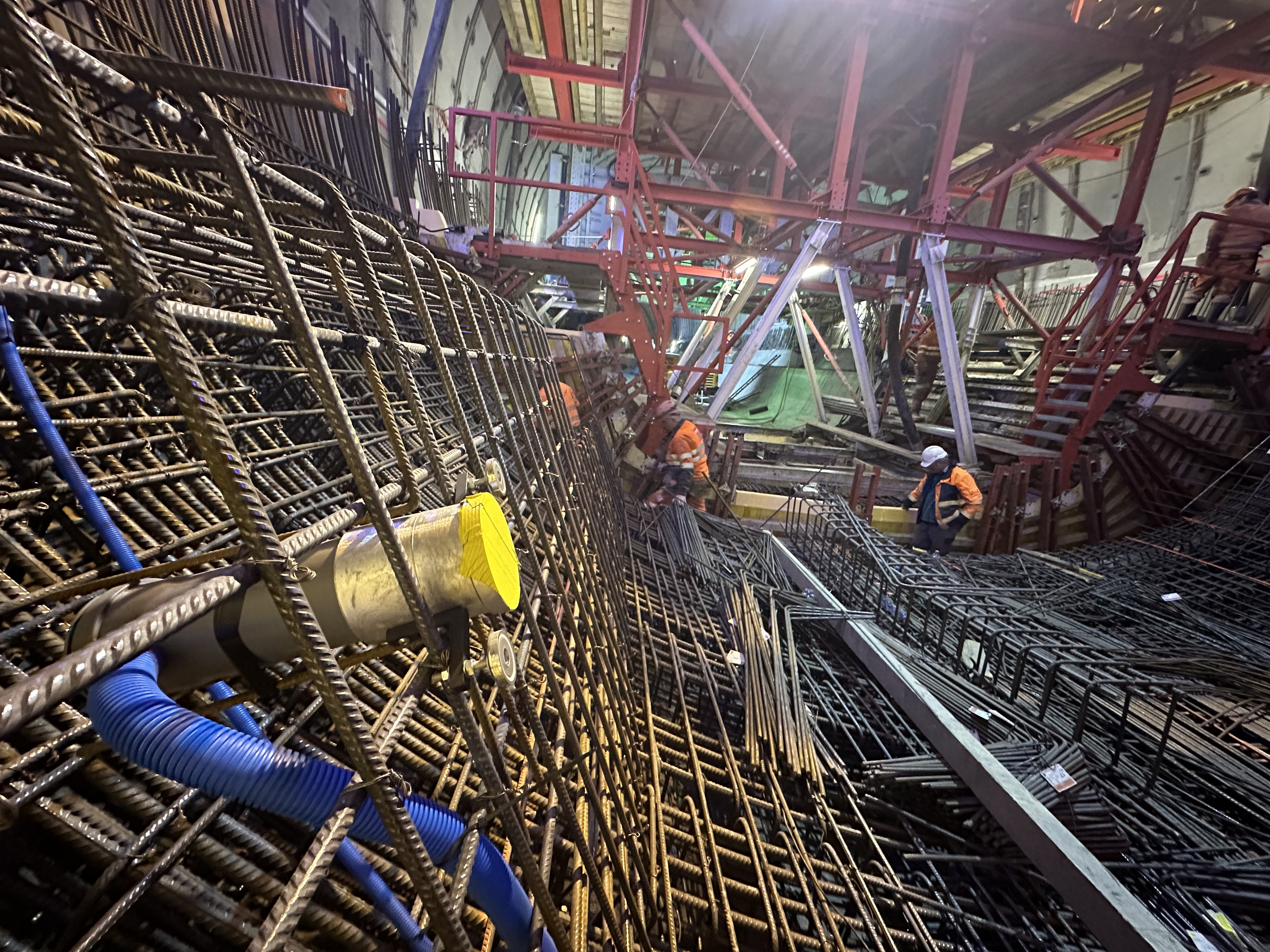
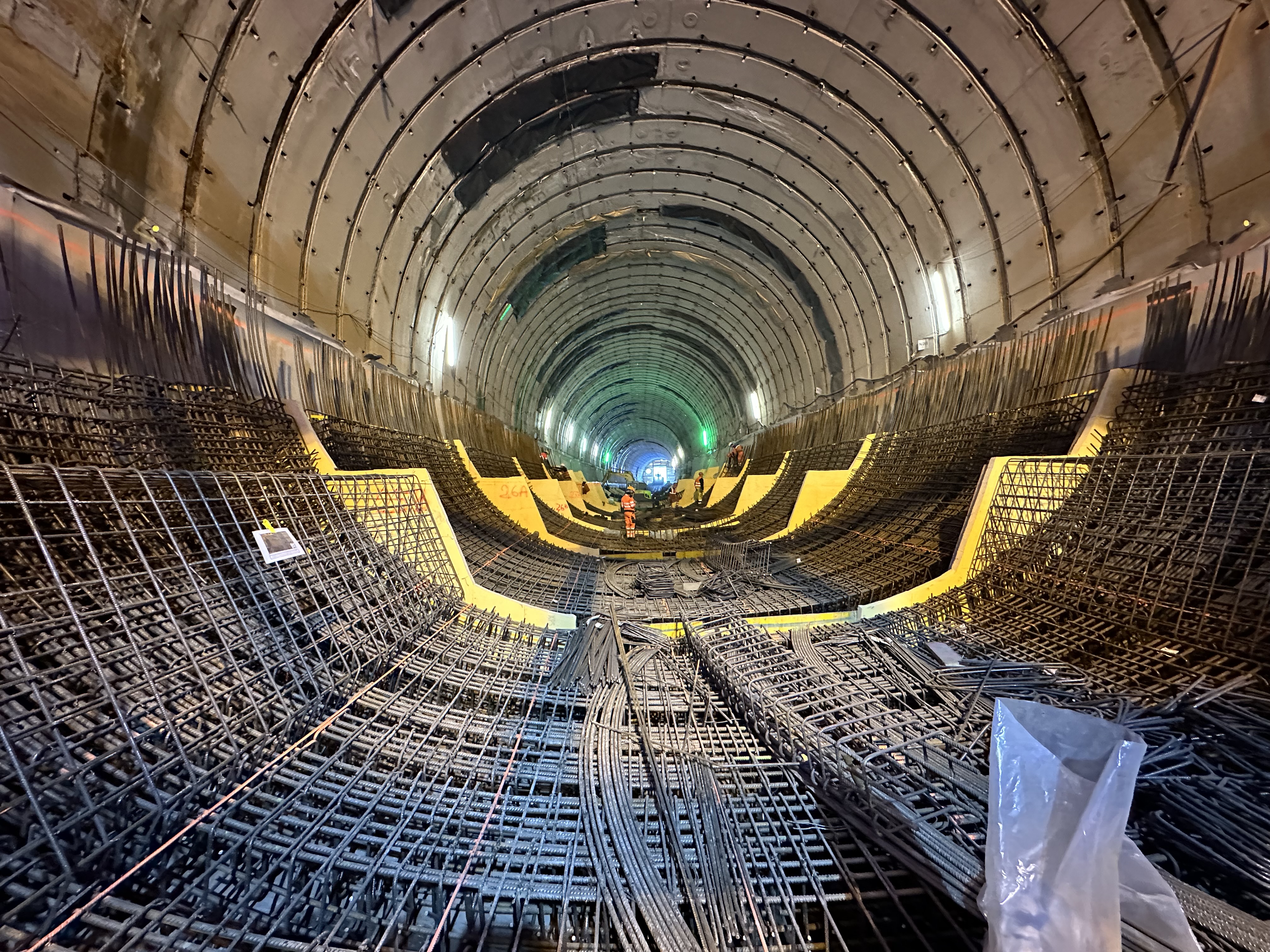
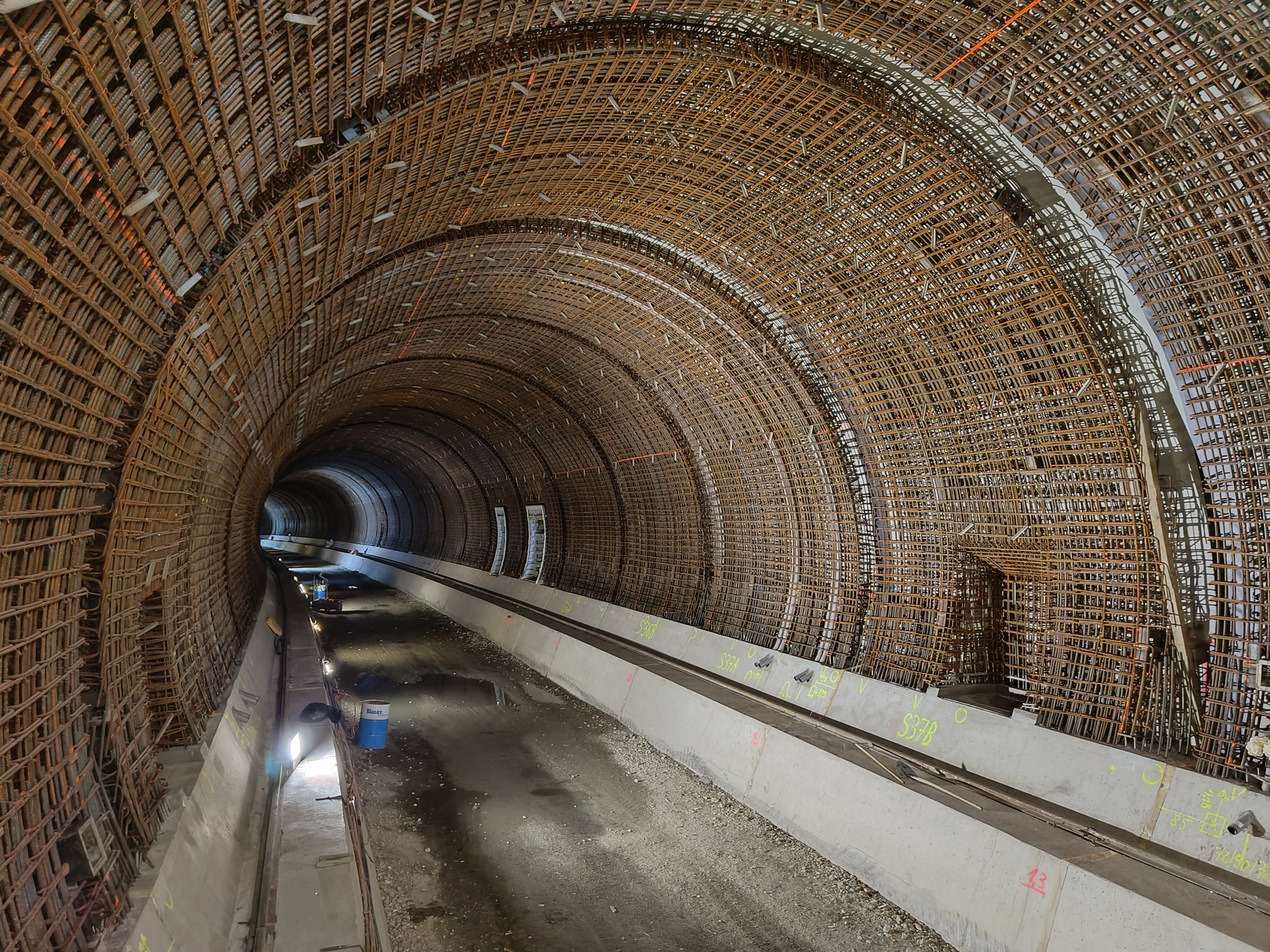
- Automated convergence and displacement measurement in both tubes with total stations and strain sensors
- Surface def. measurements of the landslide slope with LIDAR and photogrammetry
- Integration of all previous measurement results into the TEDAMOS web portal
Technologies
Automated
- 12 total stations in both tunnel tubes with 830 measuring points
- 3 total stations for slope and portal monitoring
- 3 TEDAMOS GNSS sensors
- 464 strain measurement sensors (in 58 tunnel blocks with 8 sensors each)
- 7 pore water pressure sensors
Manual
- Total station
- Inclinometer
- INKREX
More reference projects
Long-term monitoring Riedberg Tunnel
Gampel, Switzerland
Automatic and manual tunnel and terrain monitoring measurements

Graubünden Cantonal Hospital, new SUN building
Monitoring of the excavation pit and the existing hospital in Chur during construction

SBB Double Track Expansion – Grellingen to Duggingen
Construction progress monitoring with automated DJI Dock 2 DroneCam

New high-rise building Leutschenbach, Zurich
Construction site documentation and monitoring