Drone Surveying: Precise Data from the Air
The TEDAMOS DroneCam enables the efficient aerial surveying of construction sites and infrastructure. The captured drone imagery is processed into accurate 3D models and georeferenced orthophotos.
All data is automatically transferred, processed and made available in the TEDAMOS Web Portal. It provides a reliable basis for planning, quality control and project documentation.
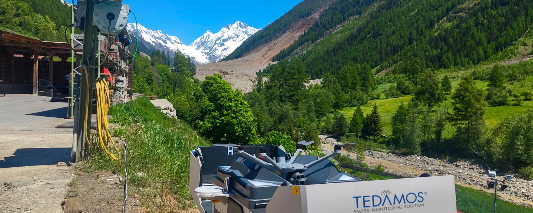
Automated Drone Surveying
Automated drone systems independently perform the entire survey mission – from take-off and flight to landing. Without any on-site personnel, up-to-date aerial imagery is captured on a regular basis and made available for digital project documentation.
Applications
- Infrastructure and linear construction projects
- Large-scale building and civil engineering projects
- Natural hazard monitoring
Use Cases
- Construction documentation and progress monitoring
- Volume and earthworks calculations
- Cross-section and longitudinal profile analysis
- As-built verification
Watch the DJI Dock drone in action
Conventional Drone Surveying
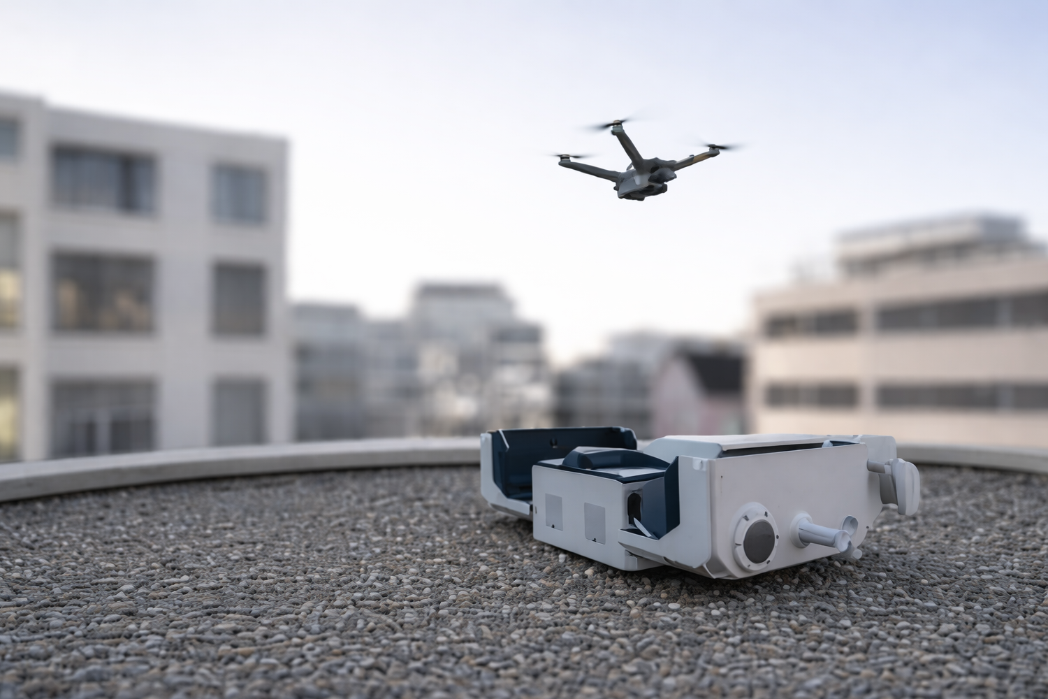
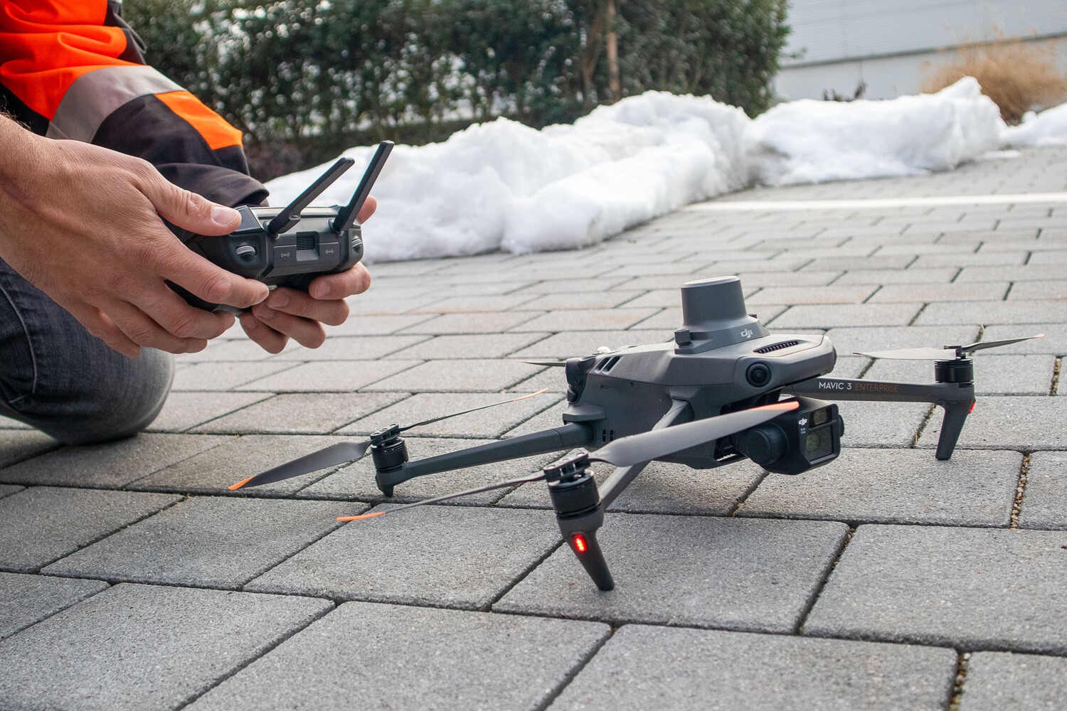
For flexible, project-specific requirements, drone surveys are carried out on demand – particularly during construction phases where detailed data and site-specific adjustments are required. Alternatively, drone imagery can also be captured independently using your own drones.
Applications
- Civil engineering projects (excavation, utilities and pavement construction)
- Detailed surveys of complex construction areas
- On-demand inspections for time-critical information
Use Cases
- Construction progress and condition documentation
- Detailed analysis and evidence documentation
- As-planned vs. as-built comparisons and verification surveys
- As-built and quality inspections
Area and Infrastructure Surveying with Wingtra Drones
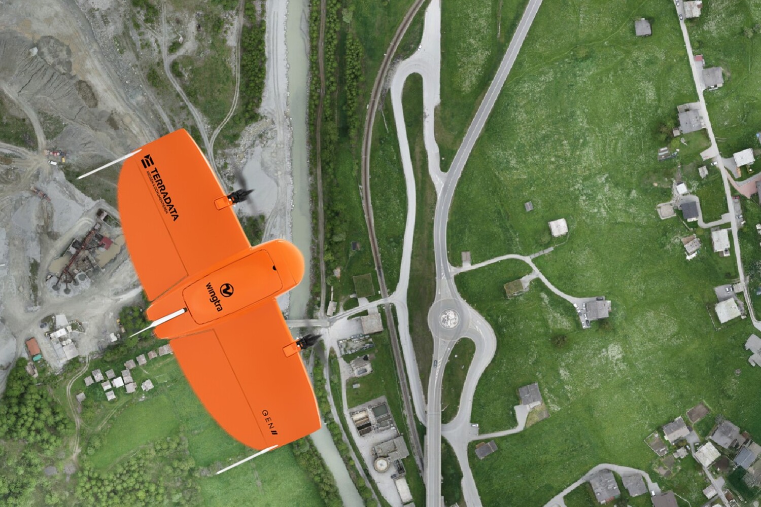
The Wingtra drone provides highly efficient coverage of large areas. Thanks to its long flight time, high cruising speed and integrated GNSS technology, large sites and linear infrastructure can be surveyed quickly and accurately.
Applications
- Large sites and project areas
- Linear infrastructure (roads, railways and utility corridors)
- Topographic surveys in open terrain
Use Cases
- Surveying and as-built documentation
- Orthophotos and digital terrain models (DTM/DSM)
- Volume and earthworks calculations
- Planning and project base data
Visualization Options in the TEDAMOS Web Portal

Orthophotos
Georeferenced, distortion-free orthophotos provide highly accurate data for surveying and analysing terrain, infrastructure and structures. They form the basis for planning, documentation and as-planned vs. as-built comparisons.

Volume Calculations
High-resolution aerial imagery enables accurate calculations of excavation, fill and material volumes. By comparing multiple drone surveys over time, changes can be reliably monitored and quantified.
3D Models
Detailed 3D models and digital terrain models (DTMs) enable intuitive analysis and provide a realistic foundation for planning, visualization and project communication.

As-Planned vs. As-Built Comparisons
CAD plans can be directly overlaid with drone survey data, making deviations between the design and the completed construction clearly visible.
Deformation Analysis
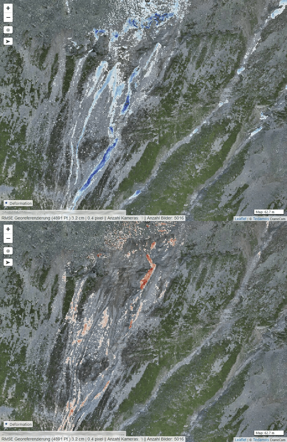
Repeated drone surveys detect changes in terrain and surface conditions over time. TEDAMOS automatically calculates deformations and volume changes by comparing multiple survey datasets.

Construction Progress Documentation
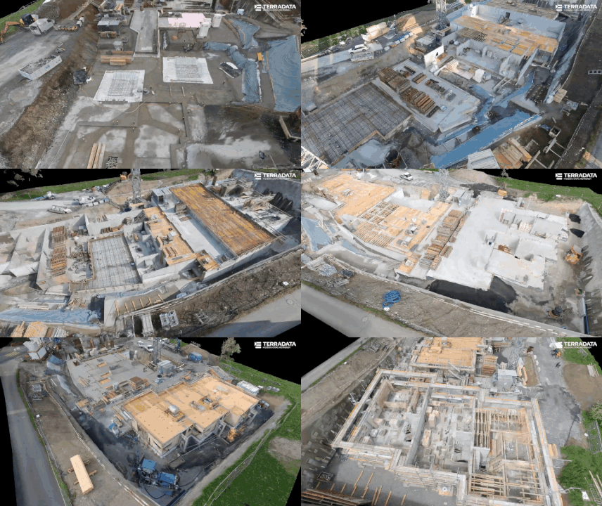
Regular drone surveys provide continuous documentation of construction progress across large areas and over extended periods. All survey data and imagery are centrally accessible in the TEDAMOS Web Portal.
How Our Customers Benefit from Drone Surveying

"The automatically processed and clearly visualized drone survey data greatly supported our verification of the track substructure elevations. It allowed us to approve follow-up works promptly on a section-by-section basis – a key success factor during the tightly scheduled five-month railway line closure."Pascal Breitenmoser, Senior Project Manager Civil Engineering, SBB